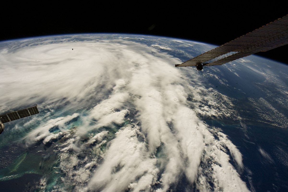
According to a recent study, learning from the past can help us prepare for the future when it comes to hurricanes. During National Hurricane Preparedness Week (April 30 to May 6), the United States Geological Survey (USGS) released a study on hurricane patterns from thousands of years ago. (Image credit: Hurricane Ian is pictured from the International Space Station as it orbited 258 miles above the Caribbean Sea east of Belize.)
The USGS study also identified several strong hurricanes, reaching Category 4 or 5 levels, that made landfall in the area between 650 and 1250, 800 to 1,400 years ago. The scientists are hoping to better understand future storm activity and how climate change could impact it.
Before this research, Hurricane Michael in 2018 was the only known storm stronger than Category 3 to land in the Florida panhandle, resulting in the loss of 59 lives and $25 billion in damages across the southeastern U.S.
By analyzing past data, scientists can gain insight into potential storm intensity and occurrence in the future. The USGS is working with partners to capture real-world data and identify the frequency and strength of past storms that were previously unstudied.
Through research in northwest Florida, the USGS found that recent storm records may not accurately represent how often powerful hurricanes have made landfall in the area.
This research supports forecasts that the number of intense hurricanes could increase in the future in parts of the Gulf of Mexico and the Atlantic Ocean as oceans warm.
Studying past hurricane activity has shown that warmer sea surface temperatures, a thicker layer of warm surface water in the Gulf of Mexico, and favorable winds all contribute to the formation and maintenance of storms.
Analyzing long-term records can help protect coastal communities by providing insight into the best ways to prevent storm inundation. Scientists collected sediment samples from two locations in coastal Florida to identify sand washed over from past storms and gain insight into the intensity, flooding extent, wave energy, and other circumstances of past storms.
The USGS is involved in several projects reconstructing scenarios to gain knowledge of past events that were previously unknown and provides real-time monitoring of current events.
The U.S. Army Corps of Engineers has been tasked with…
Brown and Caldwell, a leading environmental engineering and construction firm,…
Humboldt State University, one of four campuses within the California…