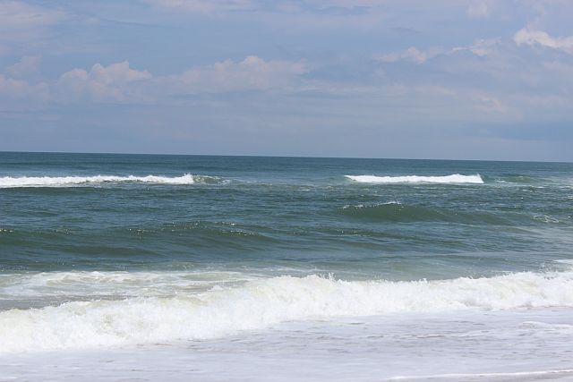
Did you know National Ocean Service and National Weather Service researchers use artificial intelligence (AI) to detect rip currents from coastal imagery? This is important because rip currents are a major cause of death for many surfers.
In 2019, weather and climate disasters caused $14 billion in damage. It is the responsibility of the National Oceanic and Atmospheric Administration (NOAA) to prepare a weather-ready nation to support disaster preparedness, response, and restoration.
NOAA is responsible for providing forecast, monitoring, and guidance on conditions from the ocean to the sun. We do this through the use of satellite data, numerical weather prediction and super computers, radar, and unmanned systems, just to name a few of the technologies that we use.
NOAA has been using AI methods for over 25 years, by providing transformative advancements in the quality and timeliness of NOAA science, products, and services. From ocean robotics and environmental mapping to model parameterization and automated weather (WX) warnings, implementing AI algorithms has helped the administration provide faster and more reliable results.
These NOAA artificial intelligence (AI) projects support big data initiatives by reducing compute time and operating costs, as well as providing data to partnering agencies that are ready for usage in AI methods for disaster response and risk management.
An example of the use of AI includes the National Ocean Service and National Weather Service researchers partnering to use AI to detect rip currents from coastal imagery. This is important because rip currents are a cause of death for many surfers.
The Geostationary Operational Environmental Satellites (GOES) help initialize our forecast models, allowing NOAA to take the data we receive from the satellite and input that into forecast models for numerical weather predictions, which is how broadcasters are able to announce the weather predictions. However, it is in our failures where we learn the lessons that propel us toward technological advancements. We experienced this type of failure with our GOES-17 satellite.
The main instrument, the advanced space line imagery, had experienced what we call a loop heat pipe anomaly, meaning that the instrument does not cool properly at night. This is unfortunate, because if a natural disaster such as a tornado happened at night, the impact and fatalities could be significantly greater without proper predicting.
The GOES-17 were expected to provide us with leading data, however the imagery was degraded and unusable. One of the current mitigation proposals for this is to use AI, the same algorithm that detects facial imagery from our cell phones, in order to overcome the missing images that we have from the satellite. This is not operational just yet, but this is one potential direction for us to go in to give us the data we need to provide even more accurate forecasts.
Another example of how NOAA uses AI is through neural networks with an AI-based ensemble model. Ensemble models use data from several different forecasting models in order to reduce the sharpness and minimize the false alarms that we see in some of our outputs.
It is extremely important for us to properly warn thepublic when to and when not to take action, which is why it is critical for us to process data in a way that ensures we are giving the public accurate information.
AI has brought transformational improvement in performance, skill, computing, and cost. As we look to the future, we hope to implement AI by providing better organization and coordination, resource opportunities, and research into applications by partnering with cooperative institutes and science centers, which includes HBCUs and minority-serving institutions. Our mission is to continue promoting a current and future workforce that is trained in AI.
Together with NOAA’s unmanned systems, omics, and cloud strategies, the NOAA AI strategy will not only significantly improve performance in our life-saving and economically impactful missions; it will accelerate our renowned environmental science and technology leadership through the 21st century.
Dr. Jamese Sims has served as an Algorithm Engineer for NOAA Satellites. She is a Senior Physical Scientist at the National Oceanic & Atmospheric Administration.
The U.S. Army Corps of Engineers has been tasked with…
Brown and Caldwell, a leading environmental engineering and construction firm,…
Humboldt State University, one of four campuses within the California…